File:Glydon Upflight Level Plane.png

Size of this preview: 800 × 352 pixels. Other resolution: 2,852 × 1,256 pixels.
Original file (2,852 × 1,256 pixels, file size: 237 KB, MIME type: image/png)
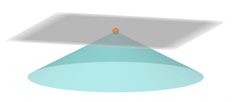
A diagram of Glydon's level plane and reachable areas, used to visualize Glydon Upflight.
File history
Click on a date/time to view the file as it appeared at that time.
| Date/Time | Thumbnail | Dimensions | User | Comment | |
|---|---|---|---|---|---|
| current | 03:49, 8 January 2023 | | 2,852 × 1,256 (237 KB) | Grady (talk | contribs) |
You cannot overwrite this file.
File usage
The following page uses this file: